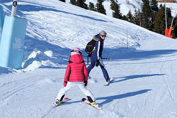
We’ve had a much quieter week on the slopes with remaining variable weather conditions and fluctuating temperatures. Monday evening saw the freezing level drop right down in time for a good snowfall which made for a fun powder day on Tuesday. This was followed by light snow Tuesday evening but with a rising snowline, so below around 1800 - 2000 metres on Wednesday the precipitation was rain.
Today, a moderate snow fall is expected over about 1800m, the snowline will drop again this evening down to around 1300m when we will have a light snowfall overnight. The cold front coming through is not that strong, so although today it will cool and bring the snowline down tonight, this will rise again tomorrow. Friday will see a moderate to light snow fall too, so we could get 38cm or more by Saturday morning. We are expecting light snow throughout Saturday with a low snowline down to 500m overnight.
Winds
Winds are currently moderate to fresh but stronger at higher altitudes, dropping to light and gentle breezes by Saturday. This will create windblown snow on the higher slopes and could cause lift closures.
Avalanche risk
Due to the changeable weather, temperatures and winds, the snow pack at high altitudes has weak layers and the avalanche level is currently varying between considerable (3) and high (4). The warning is to avoid steep slopes with fresh snow. As always check in resort the current conditions and heed the warnings.
What’s coming up
After the weekend it’s looking dry and sunny for the next few days, as a high pressure comes in, with no precipitation forecast and only light winds. However it will remain fairly cold only reaching 0°C by Tuesday night.
Above photo taken at Lake Tueda in Meribel by Meribel 3 Vallees Tourist Office