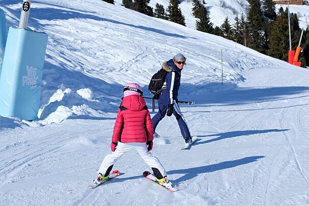
Well what a week of good, dry sunny weather we have had here in Meribel for the last week of the European half term holidays. And as the temperatures have cooled at night the snow quality is holding really well. The freeze thaw cycle is giving spring snow with firmer conditions in the morning and softer snow in the afternoons.
Next few days weather in Meribel
These spring-like conditions look set to last through to Saturday, then on Sunday we have a low moving east bringing clouds and precipitation. The first snow/rain looks likely to arrive Sunday evening, continuing into Monday and Tuesday. We can expect around 10cm of fresh snow over around 1700m.
Precipitation will probably continue Wednesday and Thursday next week too, but there is an element of uncertainty this far out and dependant on the low pressure moving across. It will be cooler next week than this week, meaning the snow line will drop a little to around 1650m.
Avalanche risk
Avalanche risk is currently set at 2 (moderate) over 2000m. There could be weak layers now hidden under the fresh new snow we had Tuesday. The more avalanche prone locations are to be found on steep shady slopes above the treeline.